Water and coast battle maps
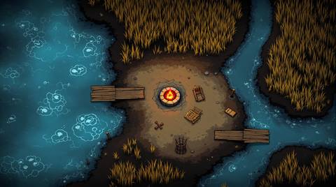
Water changes what a fight is, because half the battlefield stops being walkable. These are drawn with a readable edge between land and water, plus everything that spans it: jetties, moored boats, stepping stones, sandbars and the shallows where the difficulty of the terrain is a judgement call.
Running one at the table
The useful question on a water map is always how you cross. A river with one ford plays completely differently from one with three, and a harbour full of moored hulls turns into a platforming puzzle. The shoreline is drawn to be unambiguous so nobody argues about where the water starts.
How big to make it
A river crossing works at 30 squares across, with the water taking a third of it. Harbours want more, 40 or above, because the docks and the vessels both need room.
What you can make
Pick one and RPGenie writes the map from it. This is not a library of 15 finished pictures: they are starting points, and the map you get is generated for your table.
Water and coast battle maps shared by RPGenie users
Make a coast map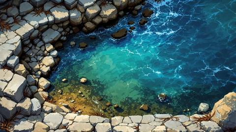
Every art style
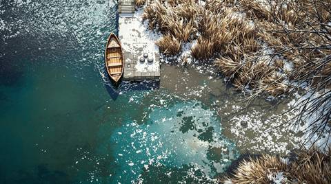
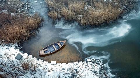
The same map, drawn twelve ways. Style is picked per map, so a campaign can stay in one look or change with the scene.